
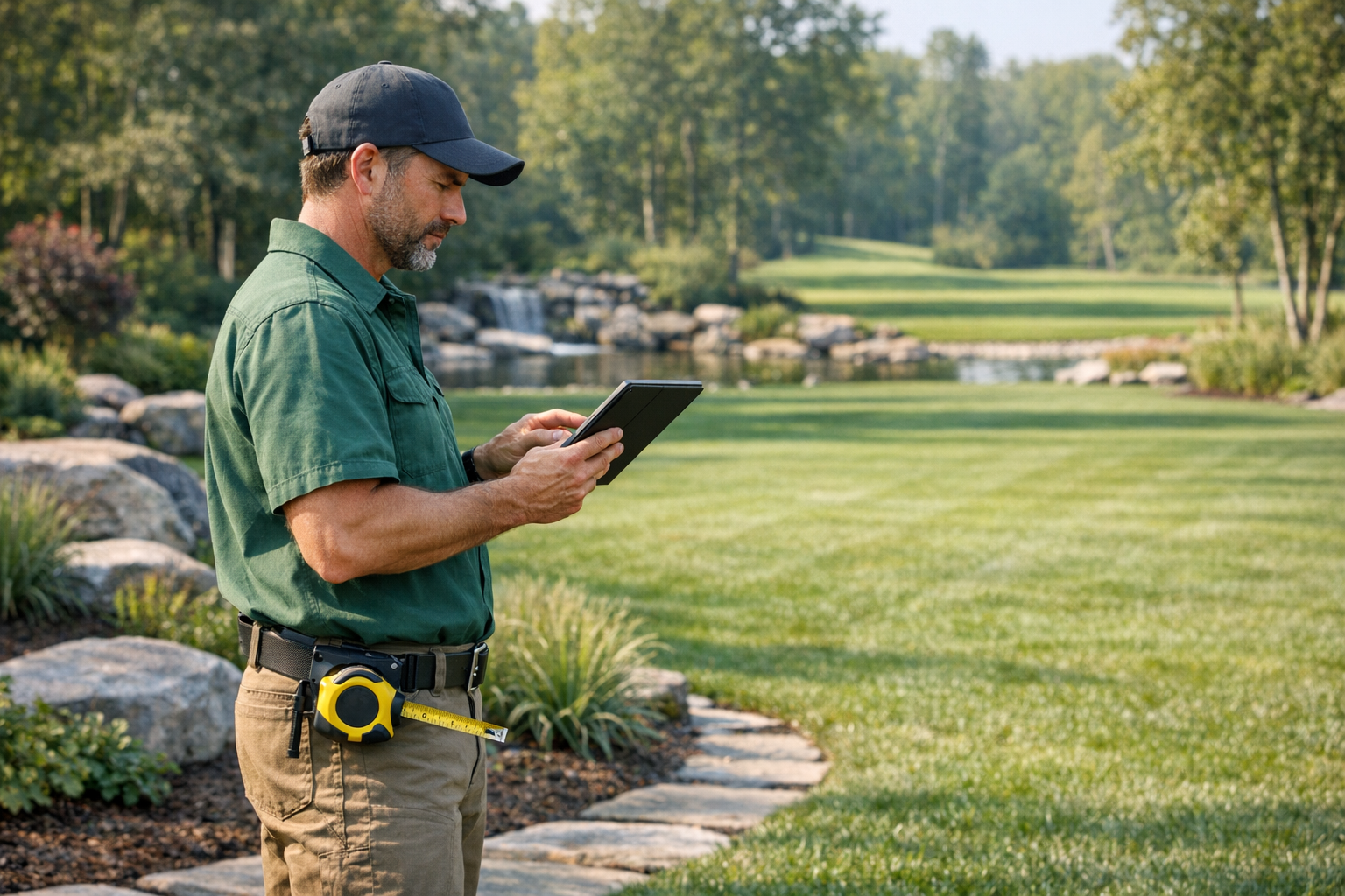
Plan, Measure, and Document Landscape Projects
From initial site surveys to project completion, SiteScope helps landscapers measure areas, document progress, and showcase their work with professional photos.
Challenges We Solve for Landscapers
Manual Area Calculations
Measure lawns, garden beds, and hardscape areas directly on satellite maps. No more pacing or guessing.
Disorganized Project Photos
Keep before, during, and after photos organized by project with automatic date and location tagging.
Inaccurate Quotes
Get accurate measurements for material estimates. Quote with confidence.
Features Built for Landscapers
Satellite Area Measurements
Measure lawn areas, garden beds, and patios directly on satellite imagery for accurate quotes.
Before & After Galleries
Document transformation with organized photo timelines. Perfect for portfolio and client presentations.
Site Planning Maps
Mark planting zones, irrigation lines, and hardscape areas on interactive site maps.
Client Sharing
Share project progress with clients via secure links. Keep them updated without endless emails.
Related Use Cases
See how other professionals use SiteScope
Ready to Get Started?
Join professionals who are already mapping and measuring their sites with SiteScope.