
Roof Measurement App: Trace the Roof from Satellite
SiteScope lets you trace a roof on satellite imagery to get its footprint area and perimeter, and measure eaves, ridges, and gutter runs as lines. On site, your GPS-tagged photos land on the same map.
It measures. It does not read pitch or build a roof report. You apply pitch and waste in your own estimate.
Free plan, no credit card required.
What You Can Measure on a Roof
Trace the roof footprint
Tap points around the roof edge on satellite imagery, overhangs included, and close the shape. You get the plan-view area in square feet and the perimeter in feet.
Measure eaves, ridges, and gutter runs
Draw a line along any run for its length in feet. Multi-point lines work for eaves that wrap a corner.
Carve out what is not in scope
Subtract an open courtyard, a section you are not bidding, or a flat area on a different system. The cutout comes off the total.
Photos pinned where you took them
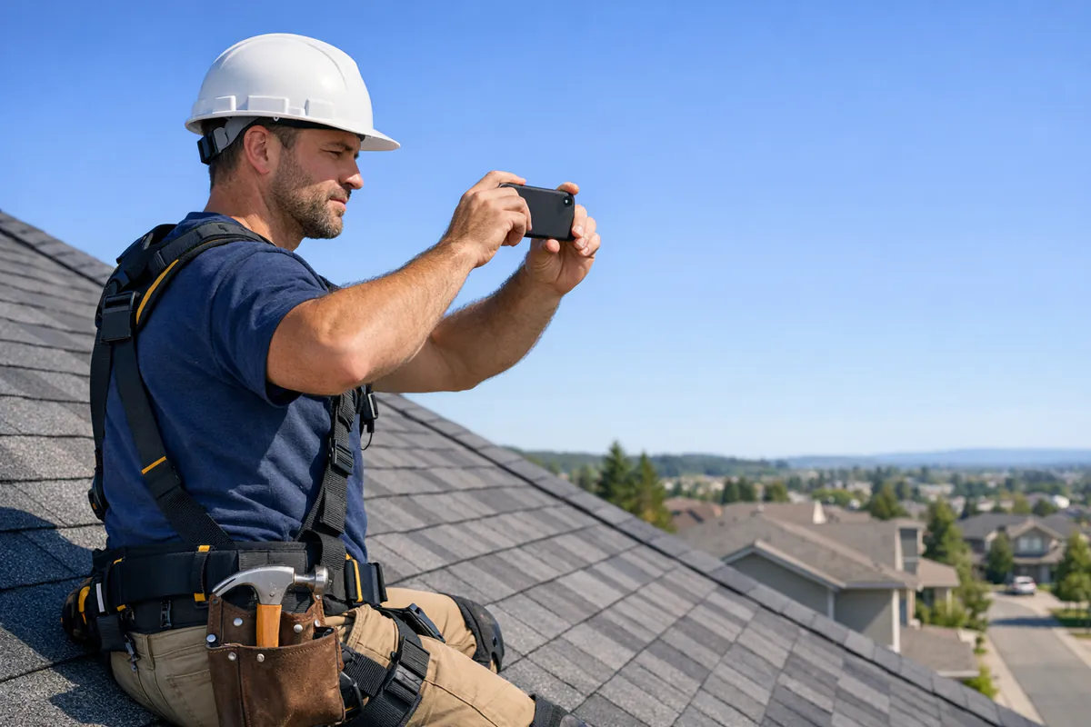
On site, GPS-tagged photos show up on the project map. Circle and arrow damage or flashing right on the image.
How to Turn a Roof Footprint into Squares
A satellite trace gives plan-view area. Roofing is sold by sloped area. The pitch factor converts one to the other.
- Trace the roof edge, overhangs included, for the footprint.
- Multiply by the pitch factor for the slope.
- Divide by 100 for squares.
- Add waste for the roof style and round up.
2,000 sq ft footprint at 6/12: 2,000 x 1.118 = 2,236 sq ft sloped, or 22.4 squares. With 10% waste, about 24.6, so 25 squares.
Pitch factor = the square root of (1 + (rise / 12) squared). On a multi-pitch roof, trace each plane as its own area.
| Pitch | Multiply footprint by |
|---|---|
| 3/12 | 1.031 |
| 4/12 | 1.054 |
| 5/12 | 1.083 |
| 6/12 | 1.118 |
| 7/12 | 1.158 |
| 8/12 | 1.202 |
| 9/12 | 1.250 |
| 10/12 | 1.302 |
| 12/12 | 1.414 |
Frequently Asked Questions
Can SiteScope measure a roof from satellite imagery?
Does SiteScope measure pitch or calculate roofing squares?
Is SiteScope an aerial roof report service?
Do I need a LiDAR iPhone for roof measuring?
What can hide a roof edge on satellite imagery?
More Outdoor Measuring
Exterior measuring
All the satellite map tools in one place
Landscaping
Measure yard, lawn, and bed square footage
Asphalt & Paving
Measure parking lots and driveways
Square Footage Calculator
Free area math, no signup
Also see construction for site and interior measuring on the same project.
Measure Your Next Site Free
Trace areas, subtract cutouts, and measure lengths on satellite imagery. Free plan, no credit card, on iPhone, Android, and the web.